
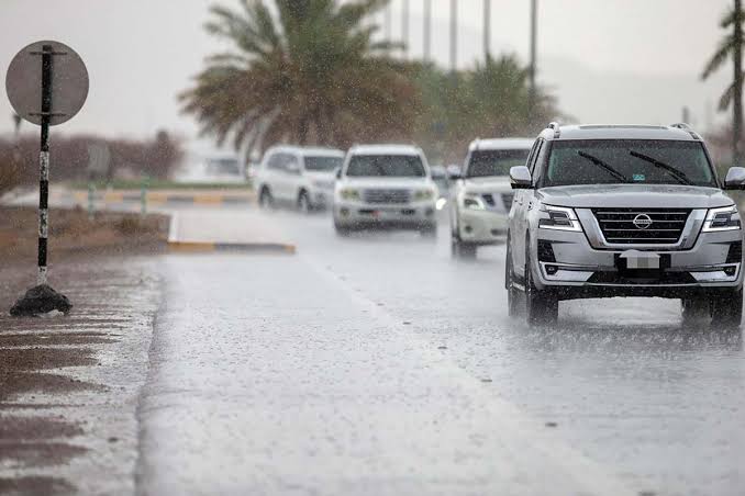
The eastern regions are expected to have rain on Tuesday, according to the National Centre of Meteorology (NCM). Over the next four days, this is expected to persist, along with a drop in temperature, especially in the western regions. This weather pattern is caused by an upper-level high-pressure system that is connected to a weak surface low-pressure system that is approaching from the east. Tuesday is expected to be clear to partly overcast, with a chance of cumulus clouds forming in the east in the afternoon that could bring rain. Temperatures will drop, especially in the west.
In some coastal and interior areas, humidity is predicted throughout Tuesday night and into Wednesday morning, which might result in mist or fog. The winds will be light to moderate, moving from southeasterly to northwesterly and occasionally turning brisk over the sea in the west. They may reach up to 40 km/h. The Arabian Gulf will occasionally experience rough seas, whereas the Sea of Oman will see mild to moderately rough seas.
The weather on Wednesday is expected to be clear to partly overcast, according to the NCM. In the afternoon, cumulus clouds could form in the east and bring rain. There is a potential for mild fog over certain interior and coastal areas, and the night is predicted to be humid and last into Thursday morning. Light to moderate winds are expected, with sporadic vigorous winds that produce dust.
Also Read:
Sophie Vancaeneghem On Customer Experience And Hospitality Industry Trends
Aubrey Heldt On The Future Of Corporate Travel And Tourism